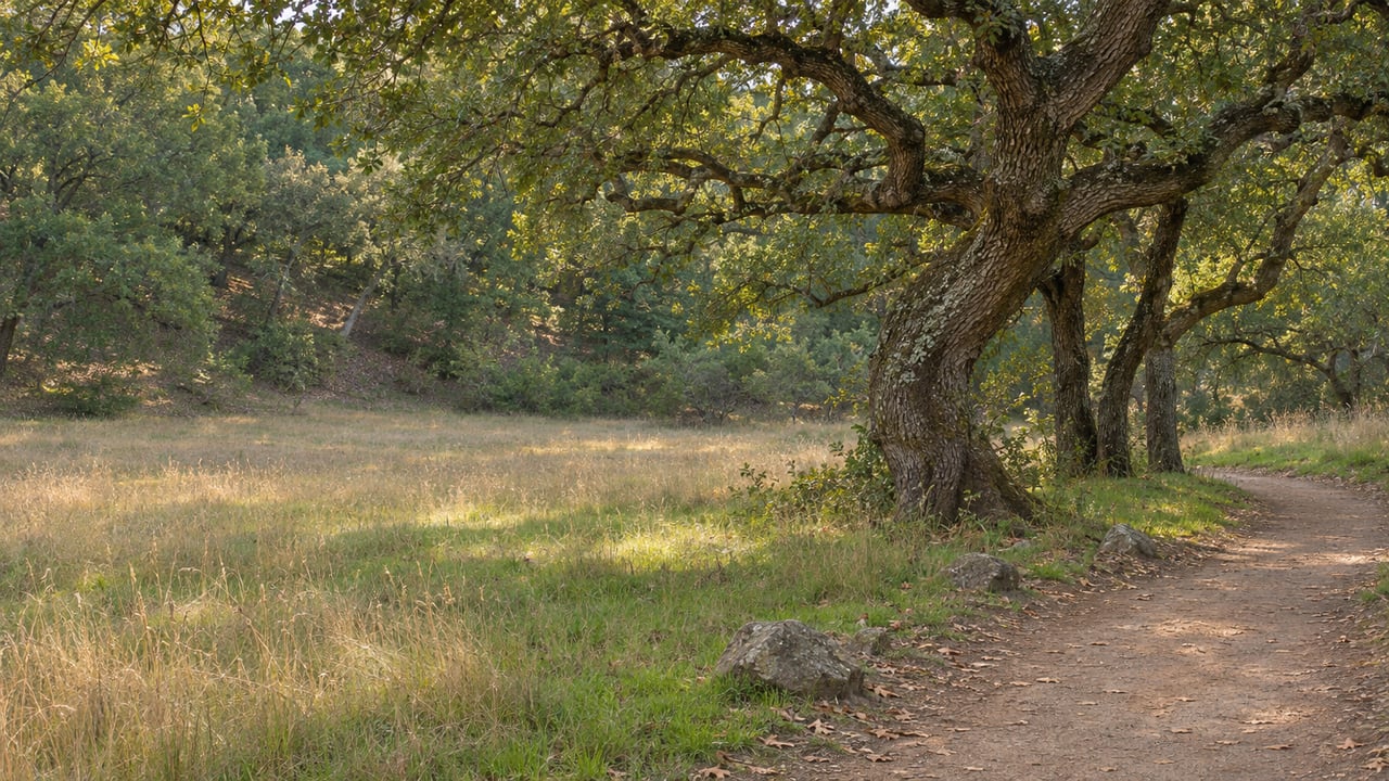
What Annadel's Trail Plan Would Change at Each Trailhead
November 19, 2026
November 19, 2026
Henry's Knob sits at 1,525 feet on Bennett Mountain, near the southwest corner of Trione-Annadel State Park. The view from the top takes in much of Sonoma County, but there is no legal way up. The only routes to the knob are unsanctioned social trails. Don McCullough, president of Friends of Trione-Annadel, told The Press Democrat in February that this is why he has never stood on it. The knob takes its name from Henry Szostak, a leader of the Oakmont Hikers, and not from Henry Trione, the philanthropist who led the effort to create the park.
California State Parks' Road and Trail Management Plan for the park would add a multi-use out-and-back trail to Henry's Knob. The plan came out as a public review draft in January 2026. The Henry's Knob trail is the kind of item that makes headlines, but most of the plan does quieter work. It sorts trails by who uses them and which way they travel, and it puts the most work at the end of the park closest to Santa Rosa, between Spring Lake Regional Park and Lake Ilsanjo.
The January 2026 draft counts 36.8 miles of official roads and trails in the park. It also counts about 40 miles of "non-system" routes, the social trails built over the years by riders and hikers. Some of those routes date to the park's ranching days, and some to the quarries that cut cobblestones for San Francisco's streets. The draft gives the park up to 13,000 visitors a month. On the plan's trail counters, which averaged 1,046 counts a day, 57.7% were people on foot, 42.0% were cyclists and 0.3% were on horseback.
That split explains most of the plan. When nearly half of the trail counts are bikes, planners can either keep every trail shared or give some trails a single kind of user and a direction. The draft does both. It divides the park into five zones, called Cobblestone, Richardson, Bennett, Lawndale and Schultz, and every social trail got a verdict you can look up on State Parks' Non-System Route Evaluation Explorer. As The Press Democrat reported, a route called "Unnamed 56" runs from Steve's "S" Trail down to the Channel Trail. It is marked for removal because it follows the fall line and passes close to a historic quarry site. "Unnamed 58" runs east to west between North Burma and Steve's "S" and is marked for adoption with modifications.
The Cobblestone zone has the longest list of recommendations. It covers the Channel Drive entrance and the trails that climb from Spring Lake. The draft calls for rebuilding, re-engineering or rerouting the Cobblestone and Orchard trails. It would also improve about a mile of lower Rough-Go Trail between Canyon Trail and Cobblestone Trail. The northern 0.3 to 0.5 mile of Live Oak Trail would move to the northwest, and the old section would be closed and restored.
For people who come in from Spring Lake, the draft proposes two to three downhill-only trails for hikers and bikes between Spring Lake Regional Park and Cobblestone Trail. They would have natural bike features and bypasses for hikers and less experienced riders. The draft would also make at least two Spring Lake access points official. The Canyon Trail and Rough-Go Trail entrance from Spring Lake would get improvements, Parktrail Drive access would become official, and the draft adds a link between John Beckmeyer and Canyon. At the visitor center, parking for 10 to 30 cars would be improved. Channel Drive would get a monument sign, and Lake Ilsanjo would get a restroom and water.
The change people discussed most in this zone is Spring Creek Trail. The draft would keep it open in both directions for hikers and equestrians but allow cyclists to ride it uphill only. In its May 2026 response to public comments, State Parks cites years of reports from trail users about fast downhill cyclists on Spring Creek. It also calls the trail a valued beginner-to-intermediate descent. The agency says the uphill-only rule would not take effect until other descents are in place, naming Canyon Trail, a future route under recommendation C-09 and the improved lower Rough-Go. For a cyclist who now heads home down Spring Creek, the trail would only change direction after those other descents are built.
The draft lists three areas as likely places for the first projects, and one of them is the Cobblestone zone between Spring Lake Regional Park and Lake Ilsanjo.
The Richardson zone balances the Cobblestone zone's bike trails with a new trail just for hikers and horses. The draft proposes a 1.5- to 2-mile hike-and-horse connection from Canyon Trail at Lake Ilsanjo to South Burma or Marsh. State Parks' response identifies the route as R-08, which some commenters call "Rainforest." It is a social trail that drops from South Burma Trail toward Lake Ilsanjo and roughly follows an old official route known as Middle Steve's Trail. State Parks says the hike-and-horse designation would give a bike-free experience through one of the park's most distinctive landscapes. The response also states that the plan does not remove horses from any existing official trail.
Cyclists in this zone would get bike-focused trails, open to hikers and bikes and ridden in both directions, on the hillside between Two Quarry, Warren Richardson and South Burma. The draft also adds at least one multi-use connector between Two Quarry and South Burma. The draft would improve the North Burma, South Burma, Marsh and Louis trails, and it adds a raised stream crossing on Marsh Trail near Two Quarry Trail. Steve's "S" Trail would be capped to protect resources. Two Quarry Trail would become a single-lane unpaved road for park and emergency vehicles. State Parks says it would stay open to hikers, riders and equestrians.
Some riders asked for the Manzanita area to become a bike-focused zone. State Parks declined because of steep slopes, erosive soils, drainage and sensitive resources there, and Manzanita's social routes are not part of the future trail system. The Warren Richardson Trailhead, the Frey Canyon Overlook and the South Burma and Marsh junction would get water, restrooms, picnic areas and shade. The stretch between South Burma and Two Quarry is another of the three likely first-project areas.
The third likely first-project area is the north slope of Bennett Mountain, the route to Henry's Knob. The draft proposes about 3 to 5 miles of new trail there, including the multi-use trail to Henry's Knob and a multi-use connection between Canyon and Ridge. It also adds trails for hikers and bikes only between Canyon, Marsh and the new Bennett trails. The western part of Marsh Trail would become an unpaved service road with a turnaround and would stay open to hikers, riders and equestrians. The knob would become an official viewpoint, and the existing Canyon Trail picnic area would get a portable or vault restroom.
On the Oakmont side, the Lawndale zone would get about 2 to 4 miles of trail in Frey Canyon. Rhyolite Trail would change from hiking only to multi-use, and a hiking-only connection would run from Gordenker Quarry. The Lawndale Trailhead would get gated access, a restroom, a picnic area and possibly water. A new official trail would also reach the park's northern boundary and the Oakmont community.
The Schultz zone has the shortest list. Ridge Trail and Schultz Trail would be improved, and a new multi-use connection of about 0.4 to 0.7 mile would join Marsh and Ridge on the east side. It would be routed on higher ground or built on raised structures to keep it off the streams. State Parks would work with Sonoma County on parking and access at Schultz Road. Some commenters asked for a trail inside the park between Lawndale and Schultz. State Parks did not include it, saying it could not find a sustainable route and a trail there would further divide wildlife habitat.
Today, State Parks' Annadel page lists an $8 day-use fee for a regular-size vehicle. You can pay cash or self-register at the visitor center on Channel Drive, and the park accepts the California Explorer and Golden Poppy annual passes. Many people enter on foot or by bike from Spring Lake or nearby neighborhoods and never pass a pay station. In February, The Press Democrat reported that park officials were considering "electronic rangers," pay kiosks at busy trailheads such as Cobblestone on Channel Drive. Tom Boss of the Redwood Trail Alliance pointed the paper to China Camp State Park as a model. People there park free on North San Pedro Road but still stop at the kiosk for a pass because they know the money goes back into the trails.
The May response says the plan will not set a specific way to collect fees. As a starting point, it recommends keeping parking fees where collection already works and adding voluntary options such as QR codes, online contributions or an optional annual pass. It names Channel Drive, Lawndale Trailhead, the visitor center and Warren Richardson Trailhead as possible places to focus collection. The response also notes that day-use fees usually go into the statewide State Park Recreation Fund, so not all of the money stays at Annadel. Recommendation P-06 would look at a shared fee arrangement with Sonoma County Regional Parks for Spring Lake and Annadel. A large share of Annadel visitors come in through Spring Lake, and State Parks says any fee setup should keep those visitors from paying twice. McCullough has supported a joint regional pass for both parks.
The plan is still a draft. On State Parks' project story map, the agency says it is reviewing public comments on the draft and will revise it as appropriate. The schedule there lists a proposed plan with an environmental analysis and a public review period for summer and fall 2026, and a final plan for fall 2026 or winter 2027. In its May response, State Parks called funding for carrying out the plan unknown and unpredictable. It named grants, partner contributions and donations as possible sources. Friends of Trione-Annadel lists the purchase and installation of four bike repair stations as an ongoing 2026 project. McCullough told The Press Democrat the group has "not a lot, but some money" for smaller projects that "some signs and a few volunteer days" can finish.
For now, the trails you use this winter are the same ones you used last winter. State Parks warns that winter water releases can make Spring Creek Trail impassable, and sometimes the junction of Live Oak and Lake trails as well. The agency strongly discourages crossing the spillway on foot, on horseback or by bike. If you have questions about a trail you ride or walk, you can send them to the planning team at [email protected].
When you live near Channel Drive, Spring Lake or the Lawndale gate, the trailhead down the street is part of your home. If you're thinking about a move and want to talk about which Santa Rosa streets sit closest to Annadel's entrances, I'd like to hear which trails you use. You can reach me, Kristen Parrish Tamayo, through Let's Connect.
With 10+ years of sales experience and over a decade in real estate, Kristen brings local expertise, honest guidance, and a client-first approach to every transaction. Rooted in Petaluma, she is passionate about helping clients find the right place to call home.
Kristen Parrish Tamayo is committed to delivering a high level of expertise, customer service, and attention to the market and sales of Sonoma & Marin County real estate.